The geophysical methods used in our surveys, and the equipment used are:
| Method of electrical tomography, for two-dimensional (2D) and three-dimensional (3D) imaging of the subsurface |
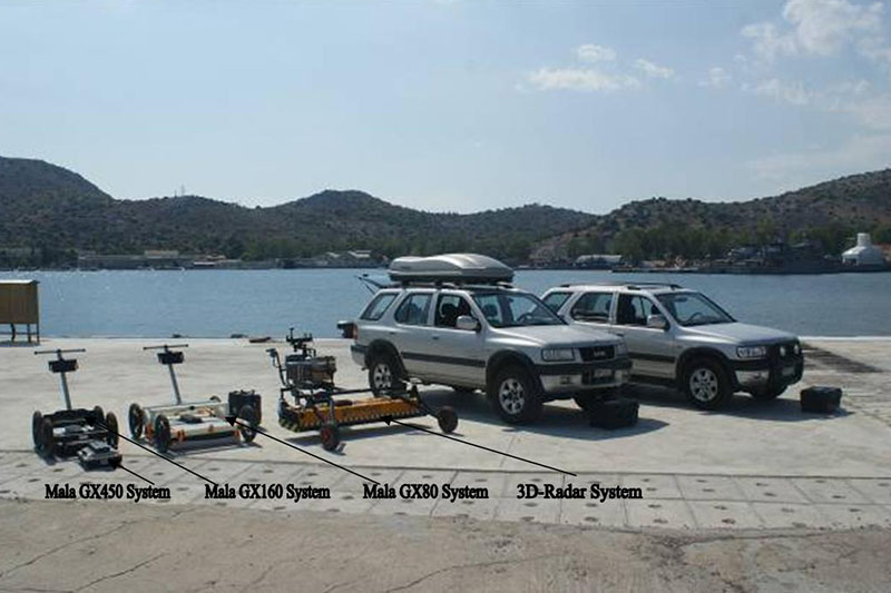
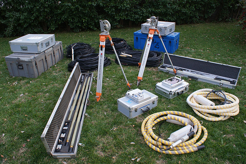
The office has the following four electrical tomography systems which can perform two-dimensional and three-dimensional imaging of the subsurfaceς:
The accessories include electrodes (sold or not) and 81 electrode electrical tomography wire, spaced 2m, 5m, 10m, 25m and 50m, which make it possible that the length of scans be from 160m to 4000m from the beginning. At the same time, these cables allow us to apply the Roll along process, during which a much larger number of electrodes can be used, while at the same time the profiles of the tomographies can be developed as much as necessary in order to achieve the objectives of the geophysical research. For the interpretation and presentation of results the software used is the programs RES2DINV and RES3DINV, of GEOTOMO company.  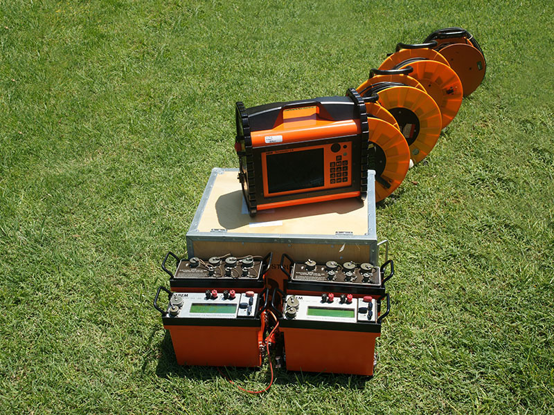 |
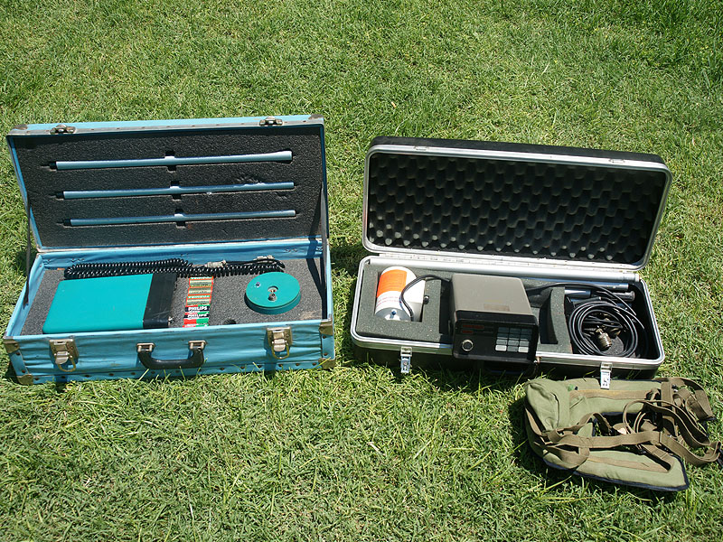
| Magnetic method |
|
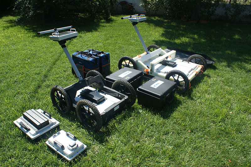
| Electromagnetic method of GPR (Ground Penetrating Radar) |
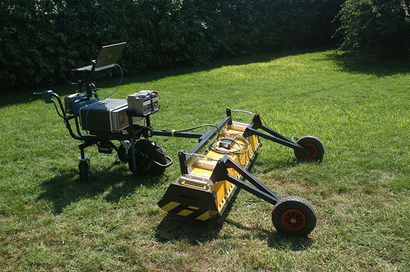
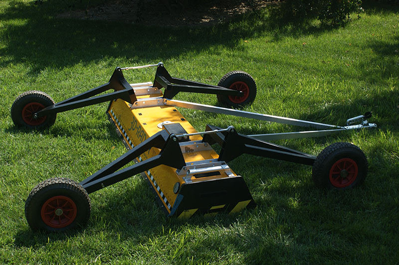
1. The 3D-Radar GPR system. This system has pioneered next generation 3D Ground Penetrating Radar (3D GPR) using step frequency radar technology and innovative multi channel antenna design. The Antenna arrays are:
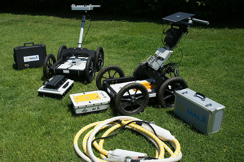
For the processing and interpretation of GPR measurements the software used will be: Slice v.7, Examiner, Reflex and Reflex3D. 2. The Mala ProEx system (Professional Explorer) with its shielded antennas of 250MHz, 500MHz, 1000MHz, 1600MHz, 2300MHz and the RTA antennas of 25-30MHz, 50MHz and 100MHz. 3. The GPR system GX HDR (Ground Explorer High Dynamic Range) with the shielded high frequency antennas of the Swedish House of Mala Geoscience, the central frequencies of which are 80MHz, 160MHz, 450MHz and 750MHz. The geophysical instrumentation used (MALA GX system), built with HDR technology, delivers unprecedented data quality and performance. For the processing and interpretation of GPR measurements the software used will be: Slice v.7, Objectmapper, Geovision and RADExplorer. 4. The Mala GPR Borehole, (Professional Explorer borehole logging system), with two pairs of optical (four-stranded) cables, 800m long each, and its un shielded borehole antennas of: 100MHz and 250MHz. measurement devices: Downhole και Crosshole. For the processing and interpretation of the measurements the software used is: Radinter and Wintomo.
The depth of the geophysical exploration, depending on the antenna used and the conductivity of the subsoil ranges from 0.30cm up to 50m. |
| Electromagnetic method EMI ( Time Domain) | 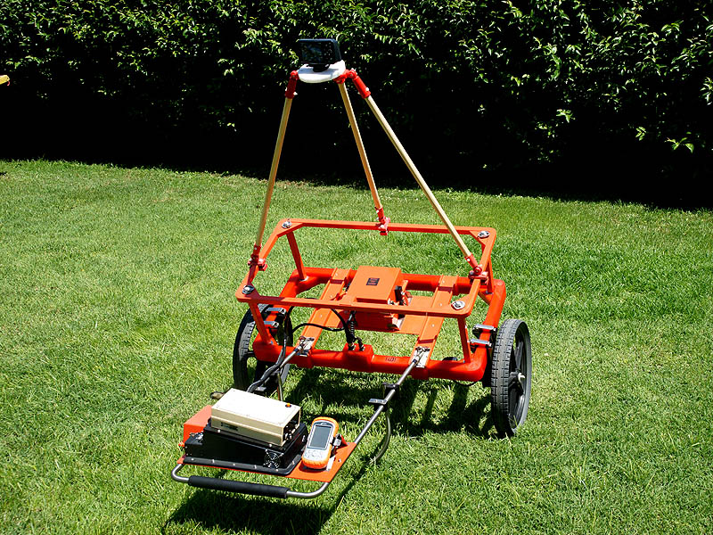
The office has the Geonics EM61 MK2 High Power system, which can detect metallic or non-metallic targets at depths of up to 8m, depending on their size. |