


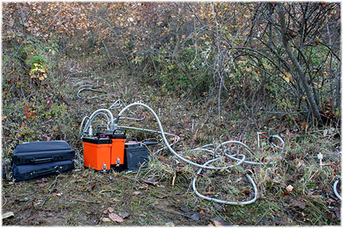

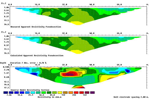
Geophysical Surveys
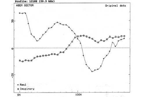
The geophysical methods, the combination of which are used by the consultancy firm, cover a wide range of applications The depth of the exploration can be more than 1500m.
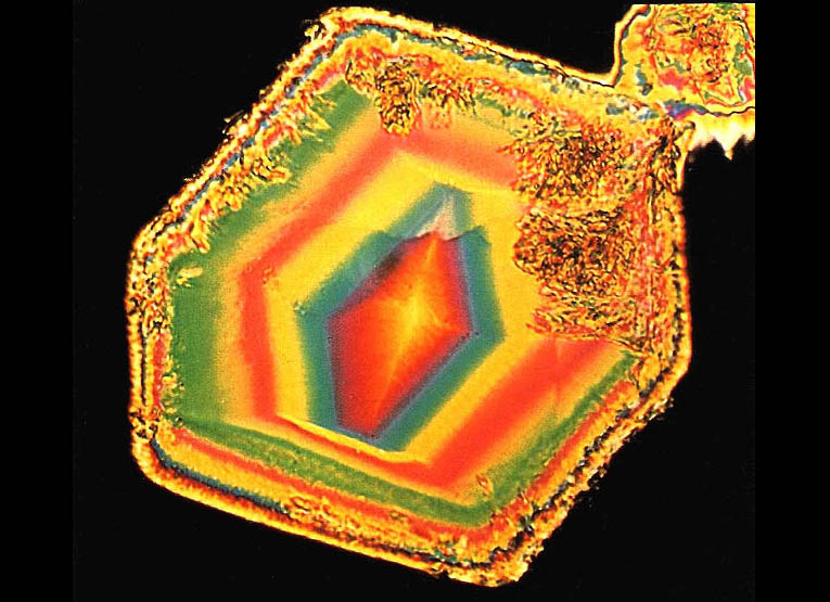
Ore Deposit Surveys
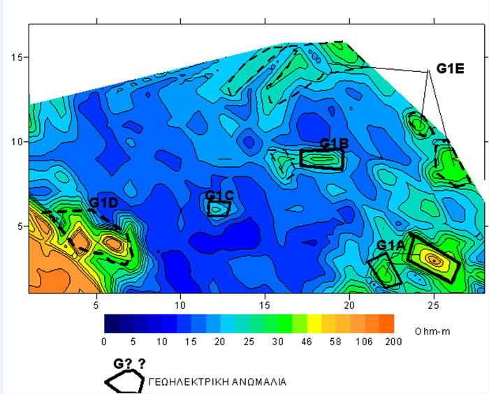
Prospection and exploration of ores. Microscopic study and identification of minerals, rocks, organic materials, precious- semiprecious stones and ores.
Environment
Environmental surveys Identification and monitoring of the quality of surface and ground water systems. Demarcation of salinization zones.
Geotechnical Syrveys
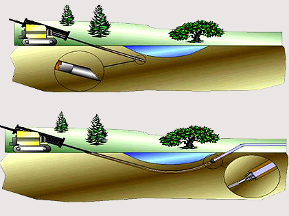
Directional drilling. Penetrometer and pressuremeter testing. Measurements of seismic waves within a borehole using Crosshole and Downhole methods.
Archaeometric Surveys
Localization and mapping of subsurface and general constructions, as well as of metallic or non-metallic targets of archaeological interest.
Identifying UXOs
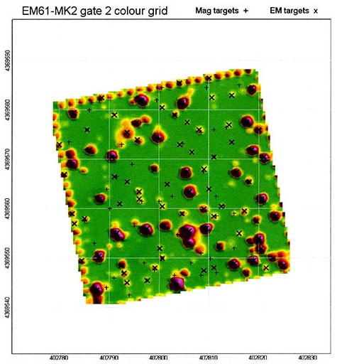
Prospection of UXOs (unexploded explosives). Two-dimensional and three-dimensional imaging of targets at depths of up to 8m.

Engineering structures
Quality control of engineering structures, foundations and reinforcement components. Sizing of pavement layers, backfill and re-filling.
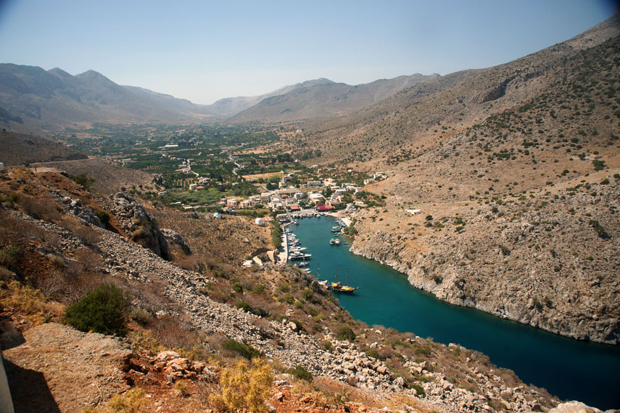
Geological Surveys
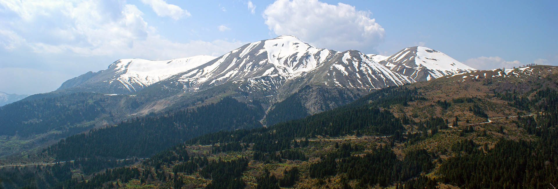
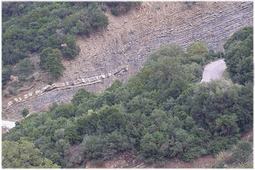
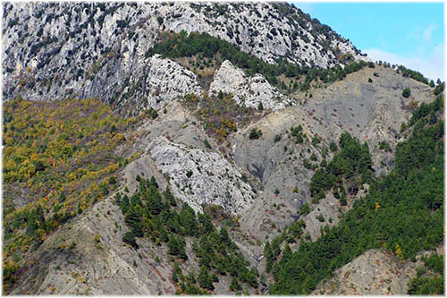
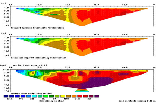
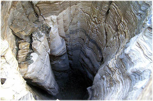
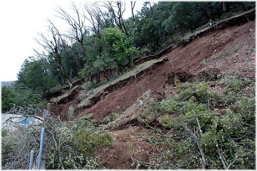
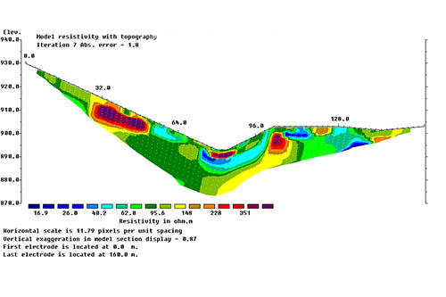
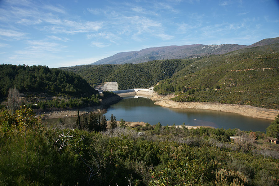
Exploration of aquifers. Landslide surveys and studies. Hydrogeological, seismic-tectonic etc. studies and surveys. Geological and tectonic mapping.
Copyrights © 2015 by M. Poultsidis. Created and hosted by ITBIZ